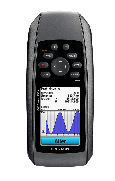
GPS
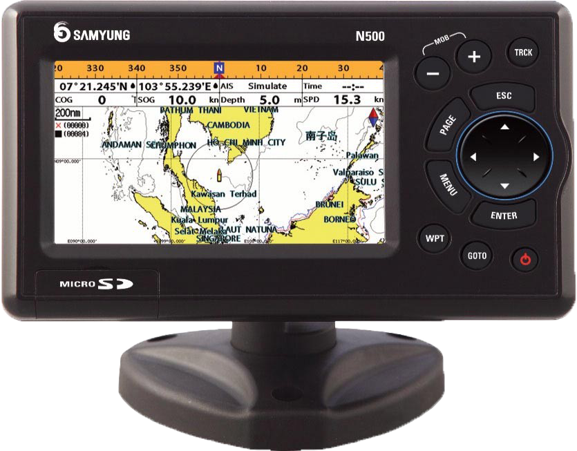
SAMYUNG N500 GPS PLOTTER
Wide 5” High-resolution TFT LCD
Fast screen response by high performance CPU
128MB internal memory and built-in standard Samyung chart
Waypoints : 10 000 waypoints
User-friendly operation type by using icon for each menu
AIS information on chart plotter by connecting to compatible AIS receiver (NMEA0183)
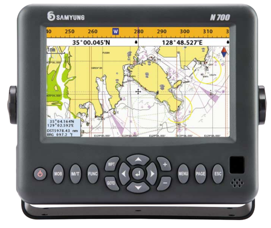
SAMYUNG N700 GPS PLOTTER
Wide 7” High-resolution TFT LCD
10 steps adjustable LED backlight
NAVIONICS® Gold SD Card
128MB internal memory and built-in standard Samyung chart
Individual button for navigation GOTO and MOB
Save a chart image on internal memory (128M)
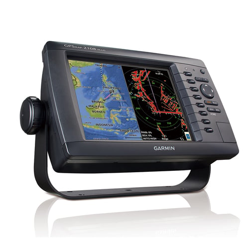
GARMIN GPSMAP 2108 PLUS
Unit dimensions, WxHxD: 11.2”x6.7”x2.9”(28.5×17.2×93 cm)
Display resolution, WxH: 800 x 600 pixels
GPS Receiver: 1 Hz sensitivity
GPS Antenna: With external connection (BNC)
Mounting options: Bail, flush
Routes 200 (max 250 waypoints per route)
Garmin Radar compatible
Supports AIS (Automatic Identification System): NMEA0183
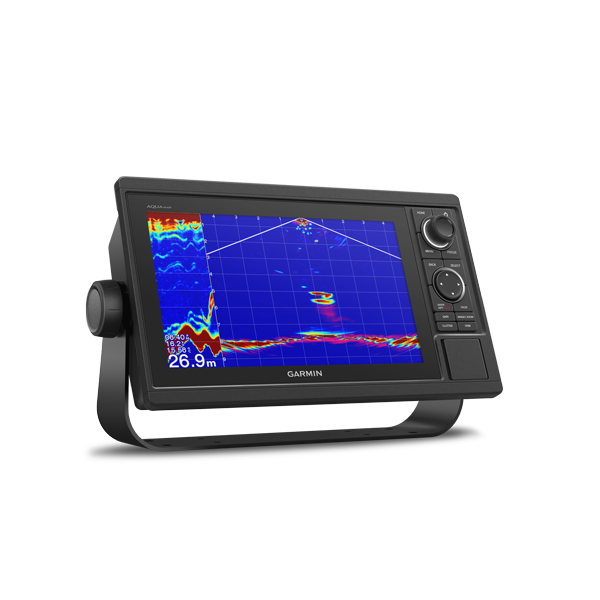
GARMIN AQUAMAP 1052XS
Multi-language support
10-inch color display with keypad interface and multifunction control knob.
Fully network capable for Garmin Marine Network and NMEA 2000 plus NMEA 0183 support
Preloaded SEA HD Chart with 9,861 tidal current points support.
Includes sonar capability with built-in 500W 77/200kHz & 2kW 50/200kHz traditional sonar
High-sensitivity internal 10 Hz GPS, GLONASS and BEIDOU
